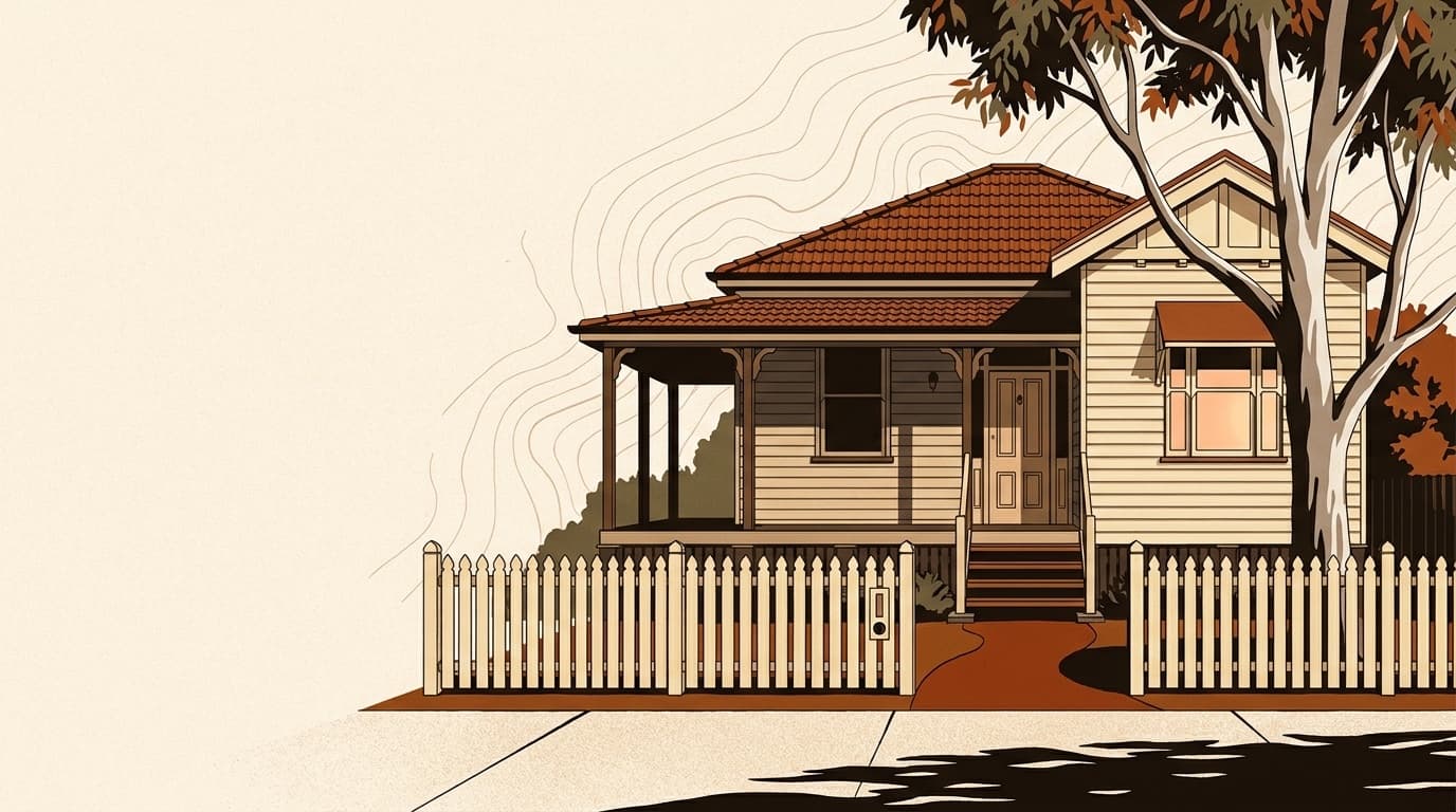
Currie at a glance
Walk score
32
Car dependent
Population
766
Median age 48

The brief
What to know about Currie.
The postcode for Currie is 7256 (TAS).
Currie (7256) sits in the West Coast region of Tasmania.
Currie has roughly 766 residents, with an established, older skew. Households are mostly owner-occupied. Daily life is car-friendly: most residents drive to work, school and the shops.
Day to day
What it’s like to live here.
Currie scores 32/100 on walkability, which makes it car-friendly with limited public transport. Plan for two cars in a typical household, especially if work isn't local.
Who lives here
Demographics.
The 2021 Census put Currie's population at 766, with a median age of 48. That sits as an established, older skew. Households are mostly owner-occupied (65% own, 29% rent), which shapes everything from school catchment stability to how often properties turn over. Lone-person households are notable here (39%), often a marker of unit-heavy stock and walkable infrastructure.
Population
766
Median age
48
Family households
56%
Lone person
39%
Demographics data as of May 2026· ABS 2021 Census
Market
The price of a home here.
Median house price
Verified median pending
We don't yet have a verified suburb-level median for this market. We're working on a data partner; in the meantime, treat the state-level figures as a guide only. How we source data.
Rental and ownership
Weekly rent (house)
$190/wk
Weekly rent (unit)
$200/wk
Owner occupied
65%
Renter occupied
29%
At a deeper level
766
Median age: 48
Free appraisal
What’s your home worth in Currie?
A local agent who actually sells in Currie will give you an honest number, backed by recent comparable sales. Free, no commitment to list.
Free guide · 2026 edition
Thinking of selling in Currie?
The complete guide to selling: what it costs, how agents price your home, and a 12-week plan to settlement. Personalised to Currie, free, in 60 seconds.
Free guide · 2026 edition
Thinking of buying in Currie?
What you can actually spend, the 2026 first home buyer schemes for your state, and how not to overpay. A free buying guide, in about 60 seconds.
Get property alerts for Currie
Be the first to know when new listings hit the market.
Getting around
Walkability.
32
0
0
Scores calculated from OpenStreetMap data (ODbL)
Walkability data as of May 2026· OpenStreetMap
Place
Location.
Amenities
Transport
Education
Schools in Currie.
Local schools for Currie
View the catchment for each school to find out more.
Government School Catchment
King Island District High School
© ACARA, licensed under CC BY 4.0.
Frequently asked
About Currie.
- What is the Currie postcode?
- Currie is in the 7256 postcode, in TAS, in the West Coast Council region.
- Where is Currie?
- Currie is a regional suburb in TAS, postcode 7256, in the West Coast Council region.
- What is the average rent in Currie?
- The median weekly rent for houses is $190, for units it's $200.
- What schools are in Currie?
- There are 1 schools serving Currie on this page, including King Island District High School.
- How walkable is Currie?
- Currie has a Walk Score of 32 out of 100, car-dependent for most errands. transit score 0, bike score 0.
- What suburbs are near Currie?
- Currie is close to Nugara, Loorana, Pearshape, Bungaree, Wickham.
- What is the population of Currie?
- The population of Currie is approximately 766 (2021 Census). The median age is 48.
For Sale
Currie
Buying
Selling
Side by side
Compare Currie vs a nearby suburb
See median prices, growth, schools, walkability and risk side by side in one view.
Sources cited
Median, growth and rental data from state revenue offices and ABS. Census from ABS 2021. Climate from BoM. Hazard from Geoscience Australia. School data from ACARA. Crime from state police open data. Full methodology →
Always dated
Every figure on this page carries its source and as-of date in a tooltip. If a figure looks off to you, tell us and we’ll fix it within a week.
No login
No paywall, no sign-up, no download form. The suburb data is the product. We earn from partner brokers and agents on the rare occasion you ask for one.
Thinking about selling in Currie?
The complete selling guide, personalised to Currie: what it really costs, how agents price homes here, and a 12-week plan to settlement. Free PDF, 60 seconds.
Get the free selling guide