Morayfield at a glance
Walk score
100
Walker's paradise
Population
24.9k
Median age 34

The brief
What to know about Morayfield.
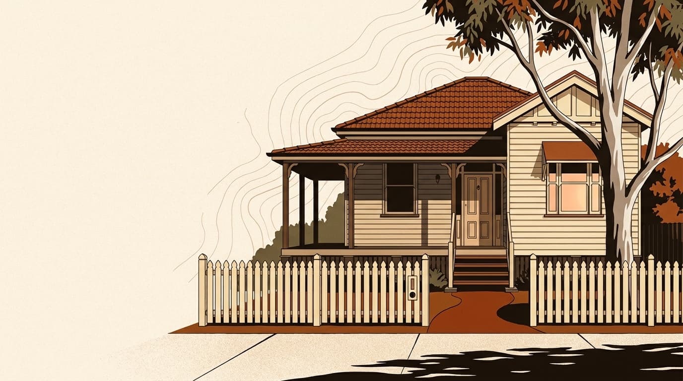
Morayfield is a rapidly growing suburb and retail hub in the Moreton Bay Region, located approximately 42 kilometres north of Brisbane. Anchored by one of the region's largest shopping centres, Morayfield combines suburban convenience with an expanding range of community services and new residential estates. The suburb has seen substantial infrastructure investment including road upgrades and new health facilities, making it an increasingly attractive option for buyers seeking value and convenience.
Day to day
What it’s like to live here.
Morayfield scores 100/100 on walkability, which makes it very walkable with limited public transport. Coffee, groceries and a meal out are mostly walking-distance, which keeps a household viable on one car.
Summer days here average around 30°C (warm), winter mornings around 11°C (mild). Annual rainfall lands at about 1068mm. Data comes from the Bureau of Meteorology's Brisbane station, 10.9km away.
Schooling within or near the suburb covers 8 government primary, 3 government secondary, 3 Catholic, 4 independent.
Who lives here
Demographics.
The 2021 Census put Morayfield's population at 24,898, with a median age of 34. That sits as a young-family demographic. Households are a roughly even mix of owners and renters (53% own, 44% rent), which shapes everything from school catchment stability to how often properties turn over. The household mix skews family-dominated (75% family households, 21% lone person), so amenity decisions tend to follow what families want: parks, schools, supermarkets.
Population
24,898
Median age
34
Family households
75%
Lone person
21%
Demographics data as of May 2026· ABS 2021 Census
Market
The price of a home here.
Median house price
Verified median pending
We don't yet have a verified suburb-level median for this market. We're working on a data partner; in the meantime, treat the state-level figures as a guide only. How we source data.
Sales data as of May 2026· rental-qld
Rental and ownership
Weekly rent (house)
$560/wk
Weekly rent (unit)
$450/wk
Owner occupied
53%
Renter occupied
44%
At a deeper level
24,898
Median age: 34
Rental data as of March 2026· rental-qld
Free appraisal
What’s your home worth in Morayfield?
A local agent who actually sells in Morayfield will give you an honest number, backed by recent comparable sales. Free, no commitment to list.
Free guide · 2026 edition
Thinking of selling in Morayfield?
The complete guide to selling: what it costs, how agents price your home, and a 12-week plan to settlement. Personalised to Morayfield, free, in 60 seconds.
Free guide · 2026 edition
Thinking of buying in Morayfield?
What you can actually spend, the 2026 first home buyer schemes for your state, and how not to overpay. A free buying guide, in about 60 seconds.
Get property alerts for Morayfield
Be the first to know when new listings hit the market.
Safety
Crime and safety.
LGA-wide data, not suburb-specific
QLD Police only publishes crime statistics at the local government area / region level. The numbers below cover the entire Moreton Bay City Council, which may include suburbs with very different crime profiles. Quieter residential pockets within the LGA likely have lower rates than the total suggests; busier areas may have higher.
32,856
total offences in 2026 across the Moreton Bay City Council LGA
Top offence categories
Crime statistics are reported at LGA level and may cover a broader area than this suburb.
Source: State Police Open Data
Getting around
Walkability.
100
0
100
Scores calculated from OpenStreetMap data (ODbL)
Walkability data as of May 2026· OpenStreetMap
Place
Location.
Amenities
Transport
Education
Schools in Morayfield.
Local schools for Morayfield
View the catchment for each school to find out more.
Government School Catchment
Morayfield State School
Morayfield State High School
Caboolture Special School
© ACARA, licensed under CC BY 4.0.
Climate
Weather year-round.
Annual Rainfall
1068 mm
Hottest Month (avg max)
30.4°C
Coldest Month (avg min)
10.5°C
Monthly Rainfall (mm)
Weather data from BOM station Brisbane (11 km away)
Climate data as of May 2026· Bureau of Meteorology
Frequently asked
About Morayfield.
- What is the Morayfield postcode?
- Morayfield is in the 4506 postcode, in QLD, in the Moreton Bay Regional Council region.
- What is the average rent in Morayfield?
- The median weekly rent for houses is $560, for units it's $450.
- What schools are in Morayfield?
- There are 20 schools serving Morayfield on this page, including Morayfield State School, Morayfield State High School, Caboolture Special School.
- How walkable is Morayfield?
- Morayfield has a Walk Score of 100 out of 100, very walkable. transit score 0, bike score 100.
- What suburbs are near Morayfield?
- Morayfield is close to , , , .
- What is the population of Morayfield?
- Morayfield has approximately 24,898 residents. The median age is 34.
For Sale
Morayfield
Buying
Selling
Surrounding Suburbs
Side by side
Compare Morayfield vs a nearby suburb
See median prices, growth, schools, walkability and risk side by side in one view.
Sources cited
Median, growth and rental data from state revenue offices and ABS. Census from ABS 2021. Climate from BoM. Hazard from Geoscience Australia. School data from ACARA. Crime from state police open data. Full methodology →
Always dated
Every figure on this page carries its source and as-of date in a tooltip. If a figure looks off to you, tell us and we’ll fix it within a week.
No login
No paywall, no sign-up, no download form. The suburb data is the product. We earn from partner brokers and agents on the rare occasion you ask for one.
Thinking about selling in Morayfield?
The complete selling guide, personalised to Morayfield: what it really costs, how agents price homes here, and a 12-week plan to settlement. Free PDF, 60 seconds.
Get the free selling guide